

Landcor has provided project design and project management services for residential, retail, office, industrial, multi-family, church and school projects. We have worked with architects, contractors, owners representatives, government agencies, and owners. Some of our services include:
Engineering Services
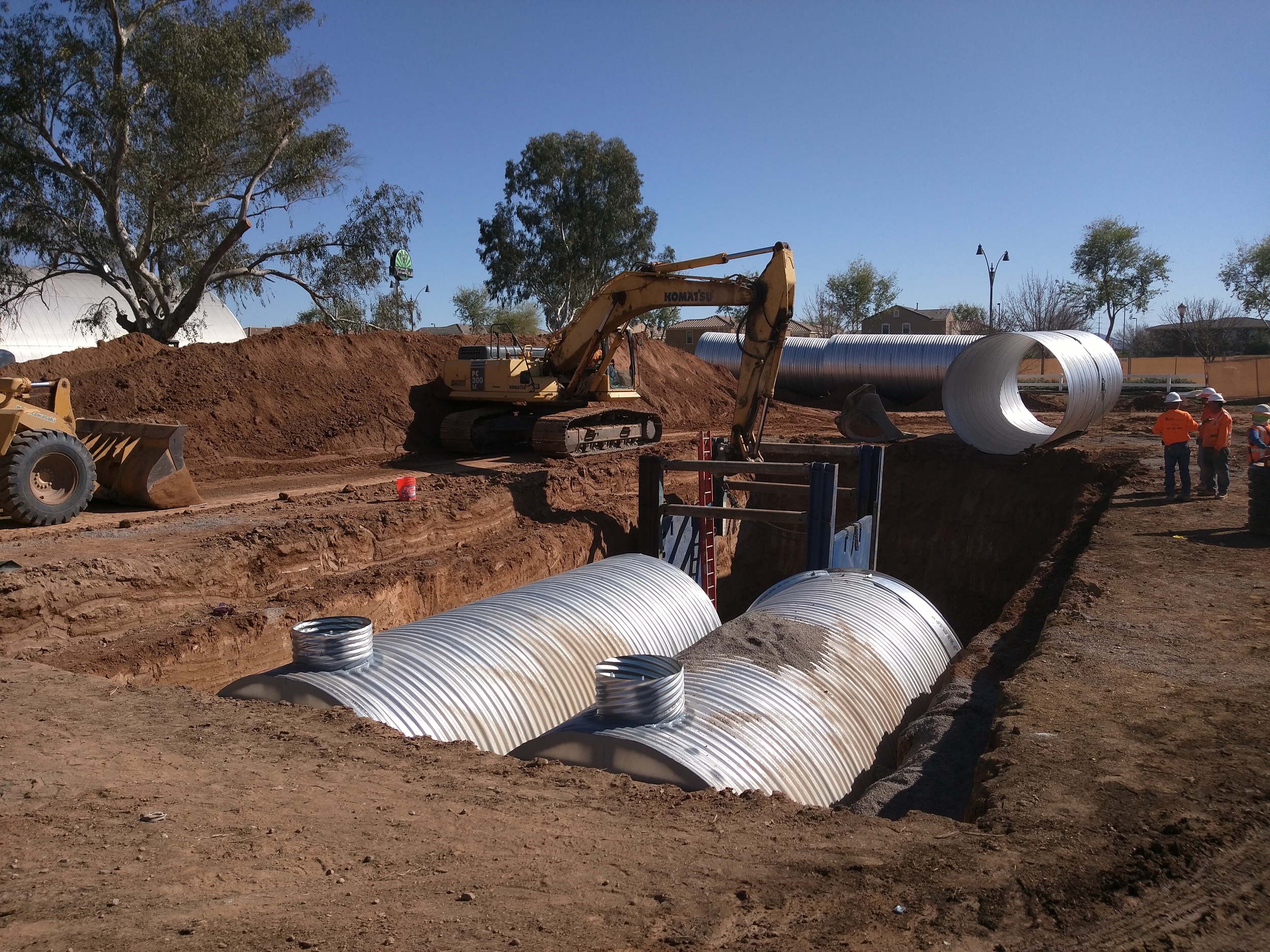
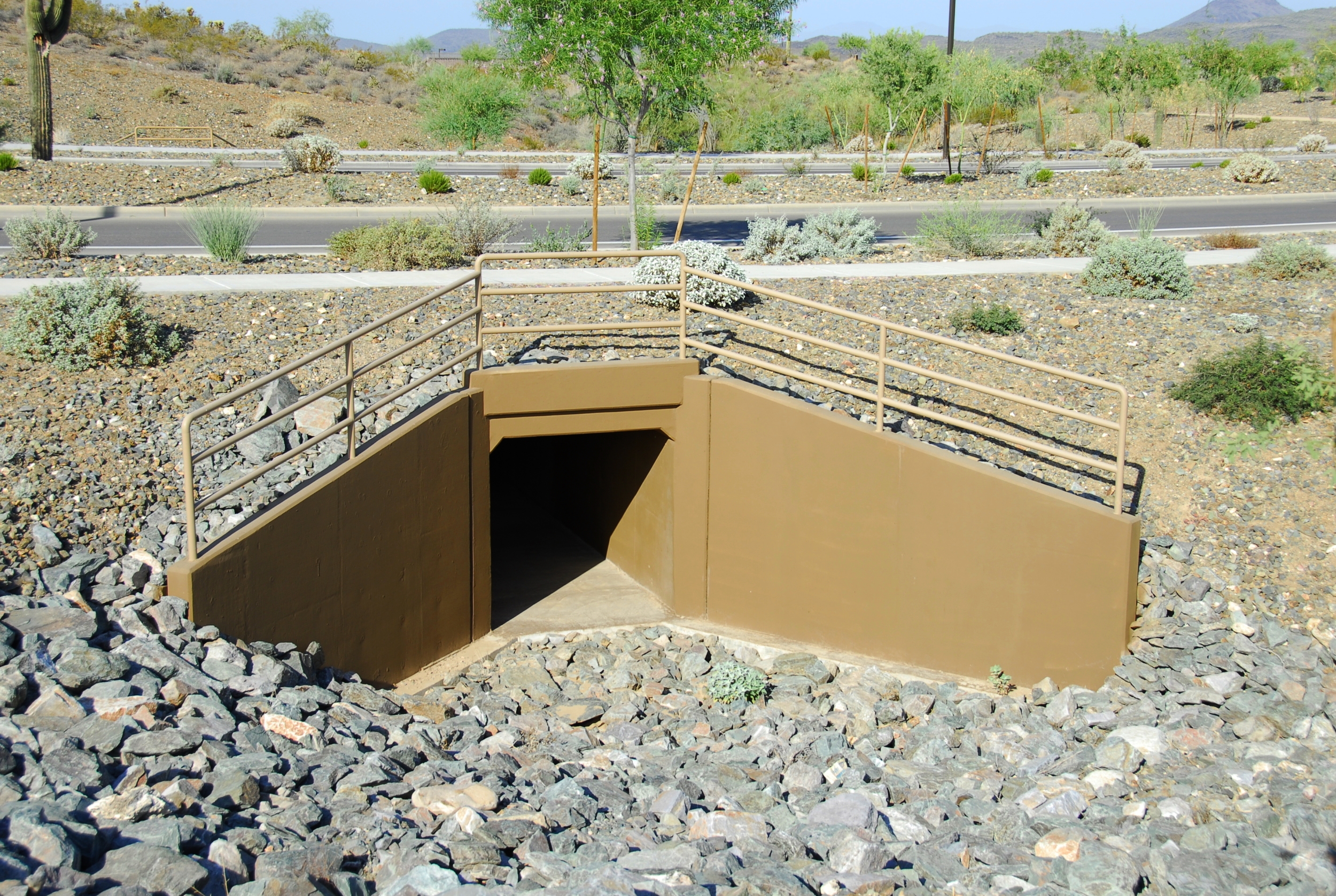
Grading & Drainage
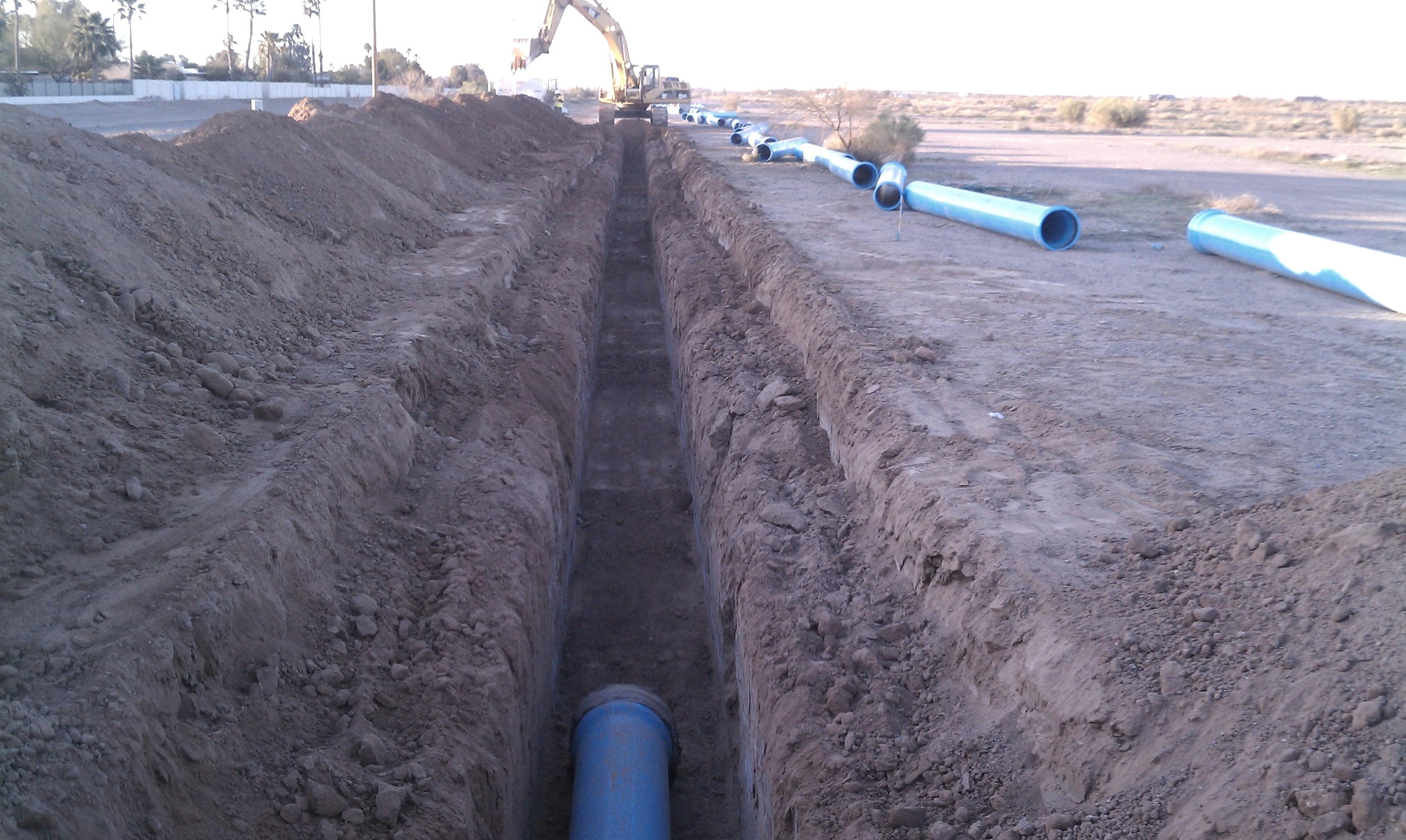
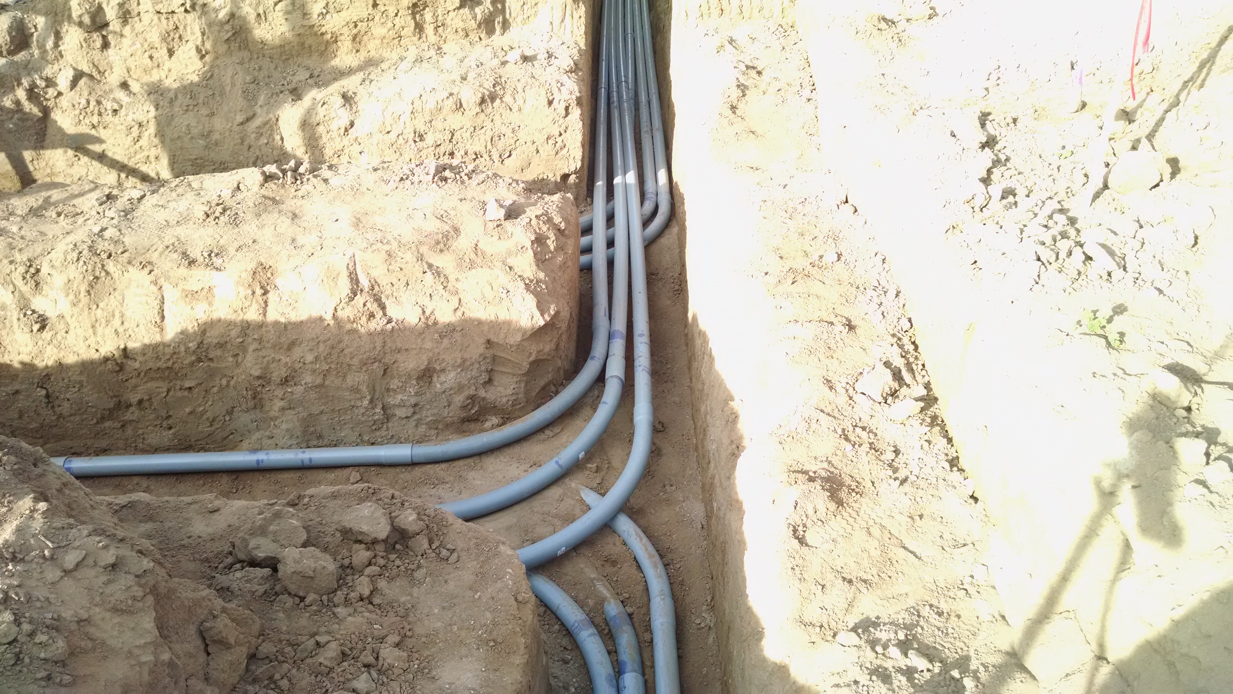
Water & Wastewater
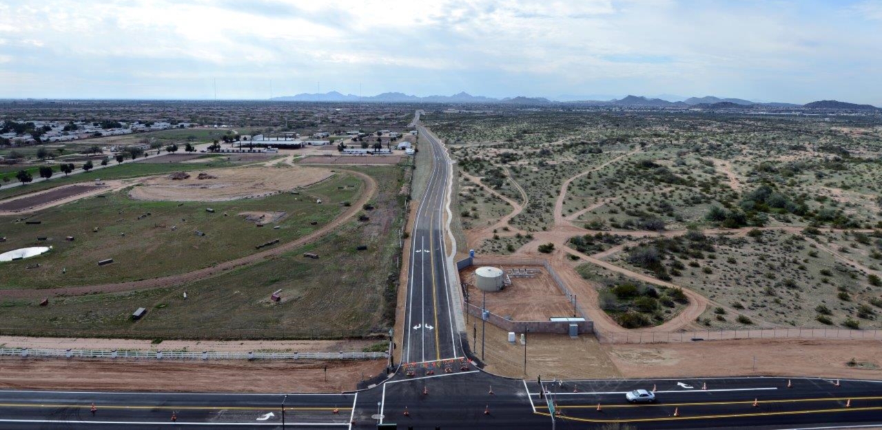
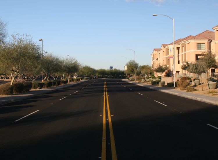
Roadway Design
Drainage Studies & Reports
Dry Utility Coordination
Land Surveying Services
Topographic Mapping
Boundary & ALTA Surveys
Aerial Mapping Control
Drone Mapping
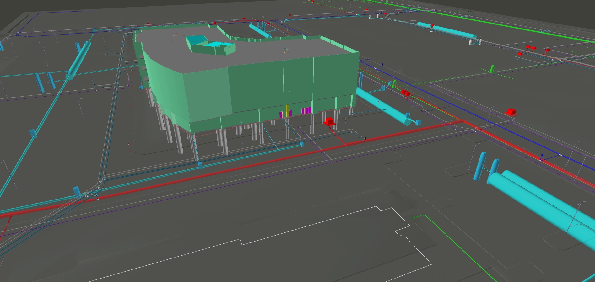
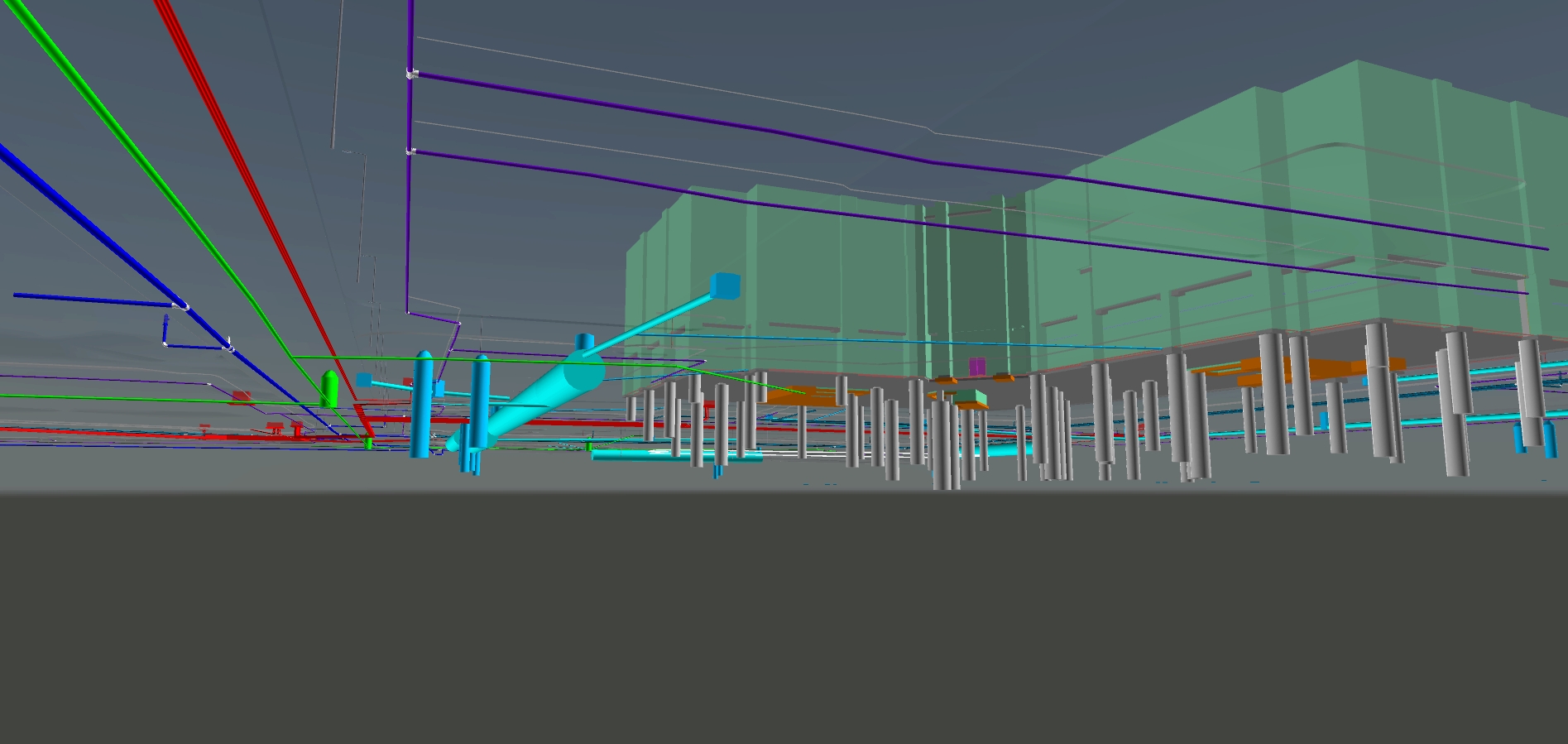
3D Modeling
SWPPP's
Section 404 Permits
Site Planning
Subdivision Plats
As-Builts
3D Static & Mobile Laser Scanning
1st Order NGS Procedures
Aerial Drone Photography
Due Diligence Studies
Cost & Feasibility Studies
Governmental Agency Processing
Legal Compliance & Documentation
Entitlements and Re-zoning
Legal Descriptions
Residential, Commercial, & Residential Construction Staking
GIS Mapping & Processing